
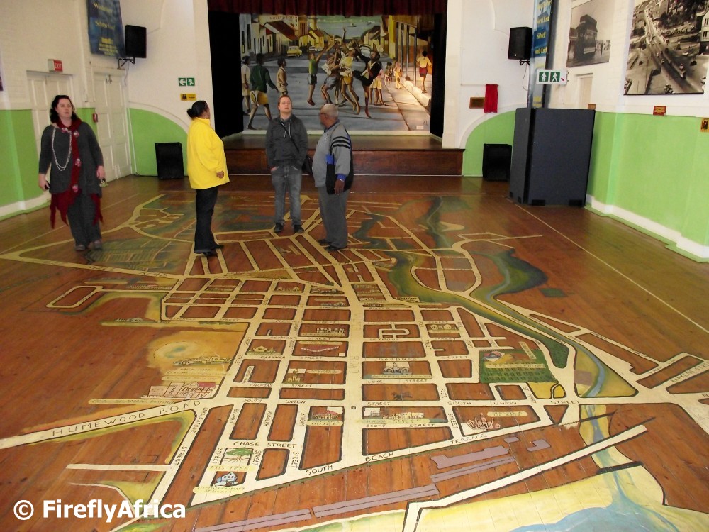
One of the most prominent features in the South End Museum is a map of what South End in Port Elizabeth looked like before the Apartheid government demolished most of the buildings and subsequently also a lot of the streets in the area. The map shows street names as well as where a lot of the prominent buildings like schools, churches, hotels and shops.