

The Tsitsikamma is a combination of beautiful indigenous forests, a rugged coastline, craggy mountains and rivers flowing through the region via deep gorges. All of this made the Tsitsikamma quite a tricky area to travel through in the early days. Life in the Tsitsikamma was tranquil and peaceful, with the animals living in total harmony with the San hunter‐gatherers who periodically lived in this area, migrating back and forth as the seasons dictated.
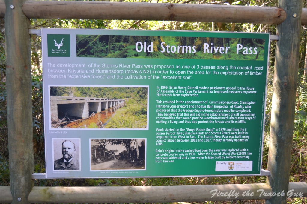
Then the hunters started to arrive in the forest and they were followed by the woodcutters. The need for an easier route linking the Knysna area towards Algoa Bay and Port Elizabeth started to grow. Cue the arrival of master road builder Thomas Bain in 1879. Bain first surveyed the area known as Zitzikama and found it to consist of almost impenetrable forests cut open by near-inaccessible gorges eastwards of Plettenberg Bay. He was a clever man though and looked for the easiest way through these gorges and he found it with the elephants that made these forests their home. For centuries, herds of elephants would migrate across this area en route to the drier lands northeast of the now Port Elizabeth to return at the turn of the following season to the cool tranquillity of the coastal forests. They would have followed the most even route down to the river and out the other side and it was along these elephant migratory routes that Bain built his road. By 1884 the pass through the Storms River gorge was completed and the village of Storms River was surveyed and laid out.
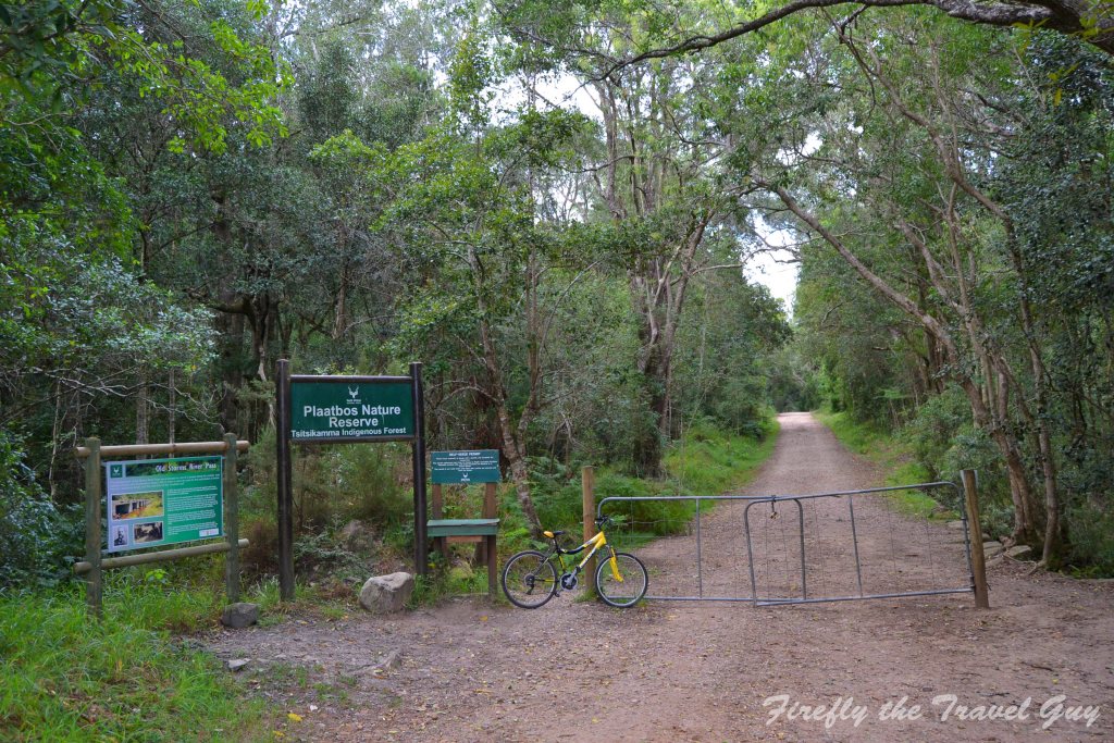
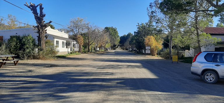
I have a very special place in my heart for the Tsitsikamma forest. It’s somewhere I like to go to plug in my soul for a recharge every now and then. I like to sit next to a forest stream and listen to the sounds of the forest, the wind in the treetops, the flowing water, a Knysna Loerie calling and unknown sounds only my imagination can place. One of the things I always wanted to do was to follow the historic Storms River Pass all the way from the village, through the Plaatbos Forest to the viewing site on the eastern side of Storms River mouth. Something I finally got to do while spending a weekend in Storms River Village with the Damselfly.
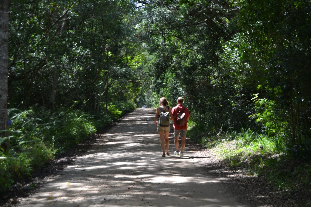
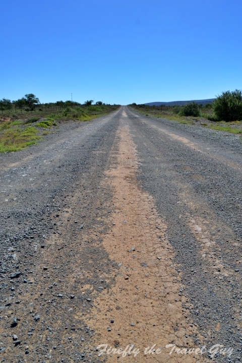
The Plaatbos Forest falls within the boundary of the Tsitsikamma section of the Garden Route National Park and the historic Storms River Pass road runs right through it. The road and forest are closed to vehicles just down the road from the village and are best explored on foot or by mountain bike. There are walking three routes that have been laid out and colour-coded with yellow (8km), red (7,5km) and green (5km) footprints. On the yellow trail, one can enjoy a picnic and swim in the Storms River at the old bridge picnic site at the bottom of the pass. Best of all, there is no cost applicable to hiking in the forest.
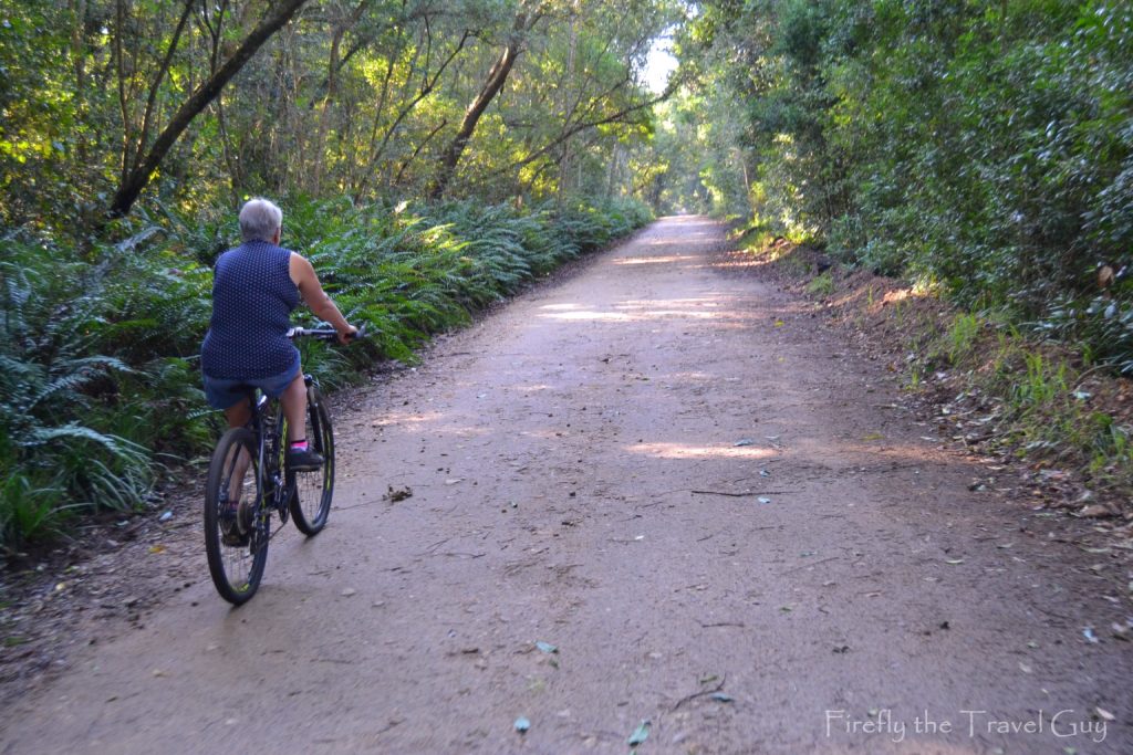
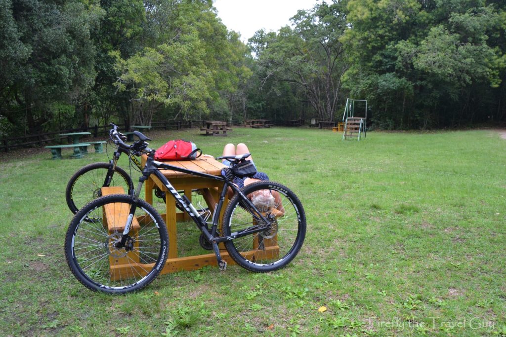
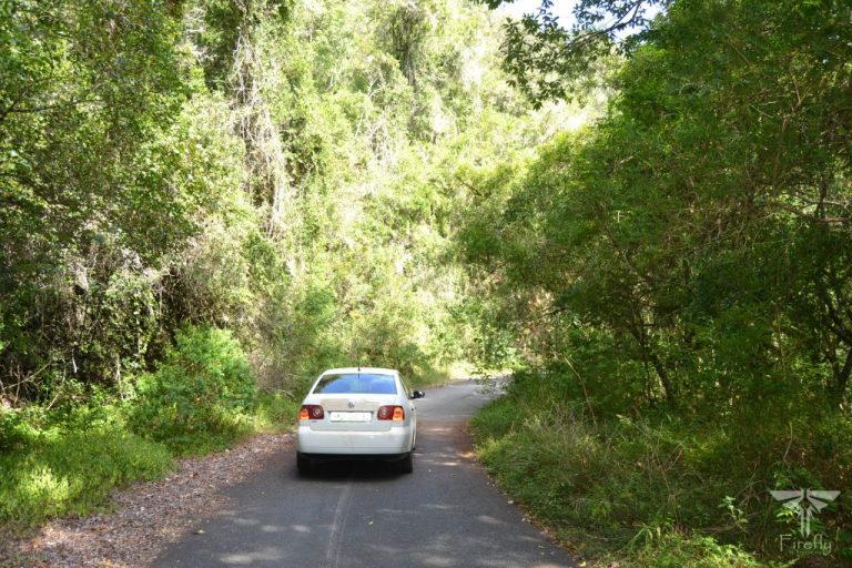
Friends in the village offered us the use of their mountain bikes, so we opted for the Plaatbos cycle route. The 22km route is a spectacular ride on a good gravel road. It starts in Storms River Village and follows the Storms River Pass road through the indigenous forest. After a steep 5 km descent to the Storms River and over the low water bridge, you climb out the other side and onto the coastal plateau. Here the gradient levels out and it’s an easy ride to the viewpoint overlooking Storms River Mouth and Tsitsikamma National Park before you head back to the village following the same route.
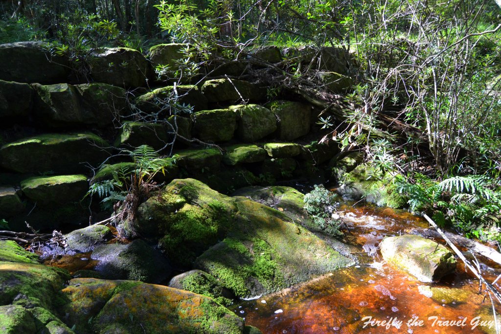
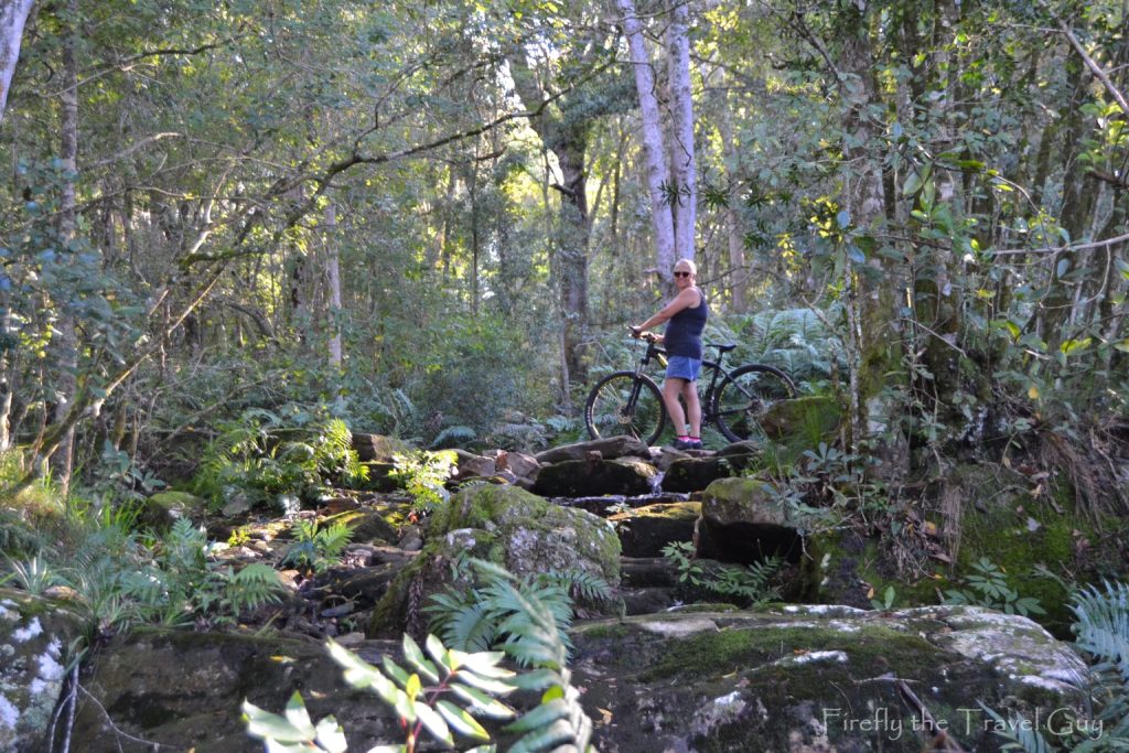
As soon as we entered the Plaatbos gate, we got to see the first signs of the original work done to build the pass. At this point, a stream flows under the road and the rock work to take the water beneath the road rather than over can be seen. Back in those days, building a pass like this was no walk in the park… or forest in this case. The technology available was limited to compasses, theodolite telescopes, manual labour and unpredictable gunpowder. Convict labour made valuable contributions to Bain’s success in building the most durable roads and passes from the 1840s to 1880s and with over 700 convict camps that existed at the time, labour for this arduous task was in no shortage.
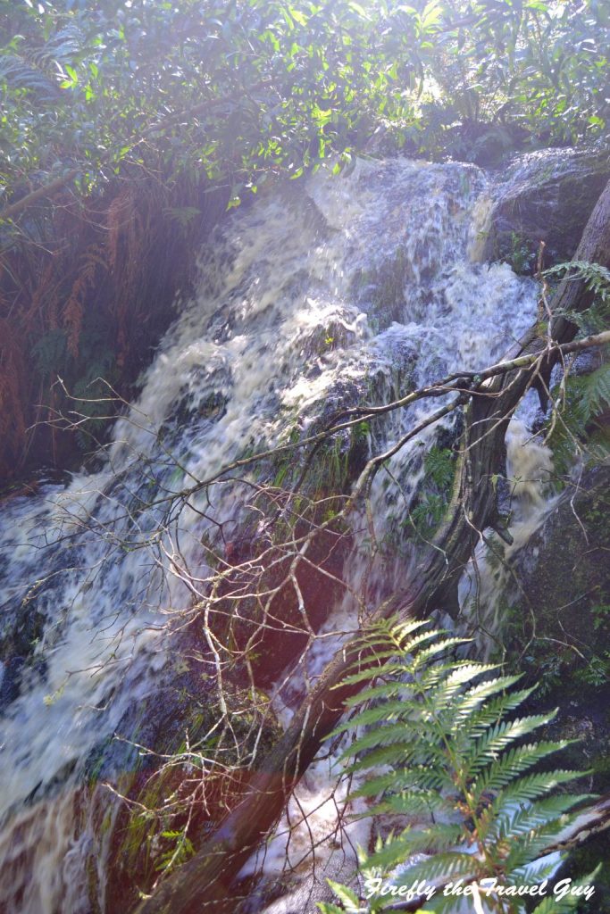
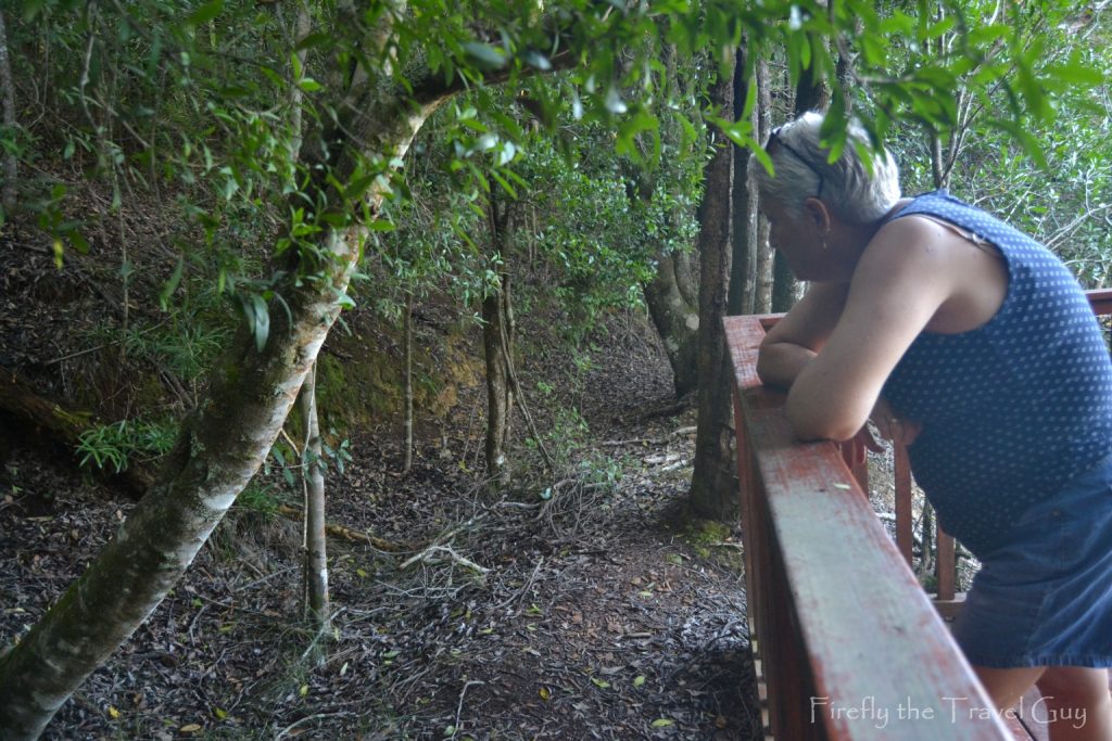
This is also the spot where I usually come to sit for a little while when I’m in Storms River visiting clients every few months. And because it’s just inside the gate, I can come and do it even if I don’t have much time. If you follow the stream a little bit you will also discover one of the Tsitsikamma forest’s secret waterfalls.
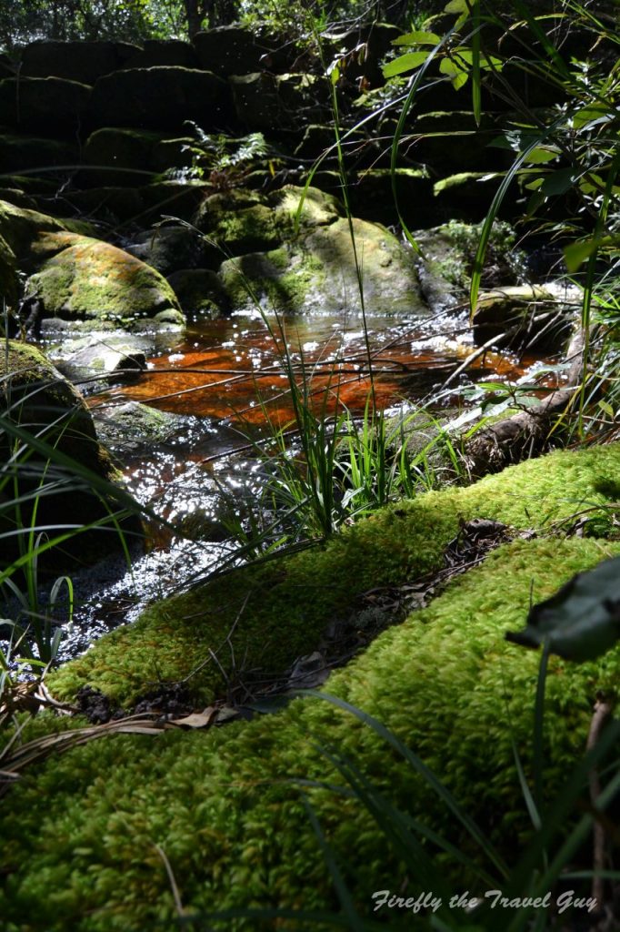
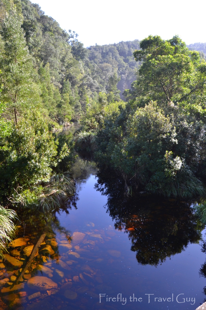
About a kilometre down the road you’ll discover another stream. This one flows over the road and it is possible that the original bypass under the road may have collapsed. This is one of my favorite spots to take photos in the forest. The water on the road, reflections and a second secret waterfall in the forest.
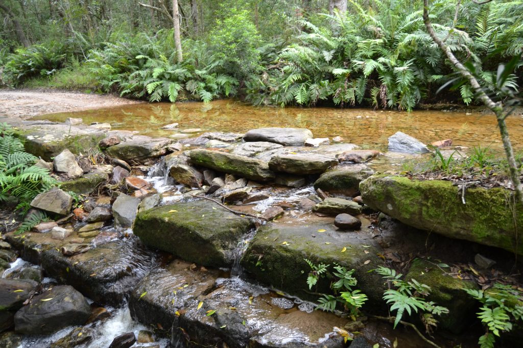
Just like with the stream by the gate to Plaatbos, the original stonework is also visible next to the road.
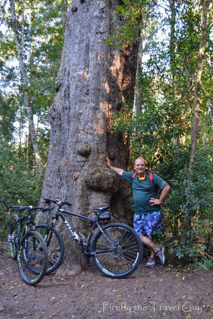
The next landmark you see is Uncle Sam, the old man of the forest. Uncle Sam is a Cape Hard Pear tree.
The Cape Hard Pear was one of the trees heavily exploited for its hardwood in days gone by. It was used for telegraph poles and wagon-making in the past. Today it is mainly used for furniture and musical instruments. All parts of the tree smell strongly of almonds when crushed, and the dead wood gives off a glorious incense when burnt. The Xhosa name for this tree means “tree without embers”, indicating that in spite of its perfume, it does not make good firewood.
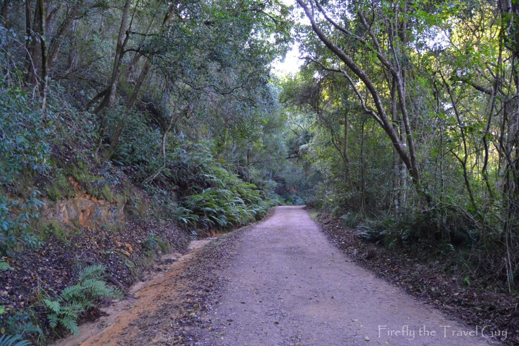
From this point the road starts to angle downhill. On the left you will notice how little topsoil there is that the forest grows in. It’s amazing to think that this forest grows in places where the top soil is only about half a meter deep.
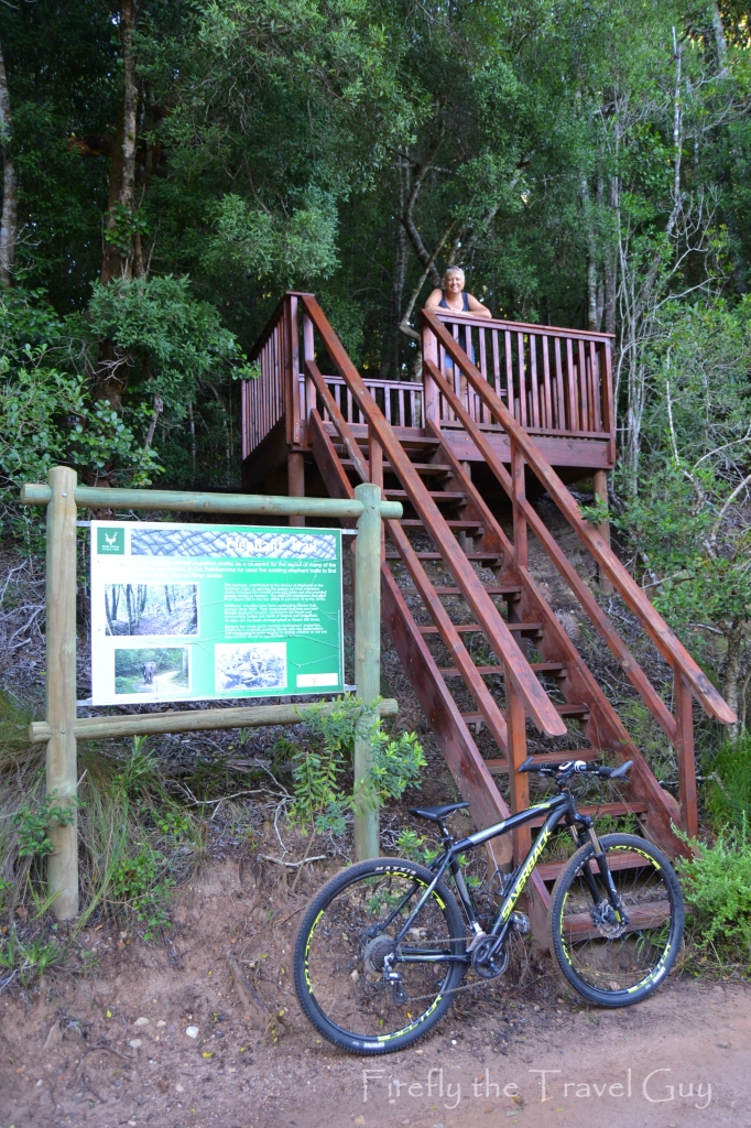
As mentioned a little earlier, elephants were historically found in the Southern Cape and migrated between present-day Mosselbay and Port Elizabeth as the seasons changed. The arrival of European settlers and big game hunters meant that the elephants started pulling back into the forest. During Bain’s planning process of building the pass through the Storms River gorge, Bain followed the ancient elephant migratory routes down to the river as elephants find the easiest way down. One section of this ancient migratory route is still visible along the Storms River Pass and SANParks has built a viewing deck for visitors to see it.
Don’t expect to see a major elephant highway as a lot of people are disappointed when they see the elephant trail. It is something special for those who are really interested in history and ecology though. The indentation path through the forest is clearly visible and it is hard to believe that herds of elephants walked through here for centuries. Trees have started growing in the elephant path but it’s definitely still there.
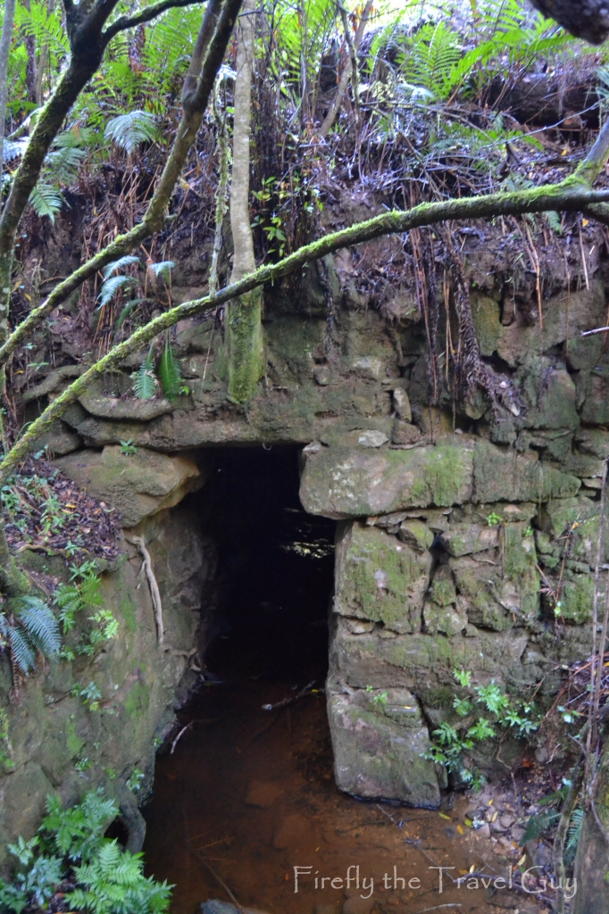
Once you get to the bottom of the pass, not far from the river, there’s another spot to stop and follow a short boardwalk to an interesting site. Here you will find one of the big culverts that was built to lead a stream under the road to prevent the water-flow from gouging out and washing away the road surfaces.
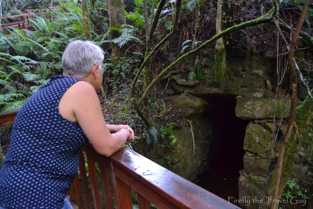
Remember, these waterways were built by hand. Big rocks had to be sourced, chiseled by hand and placed securely so that the road could be built over them.
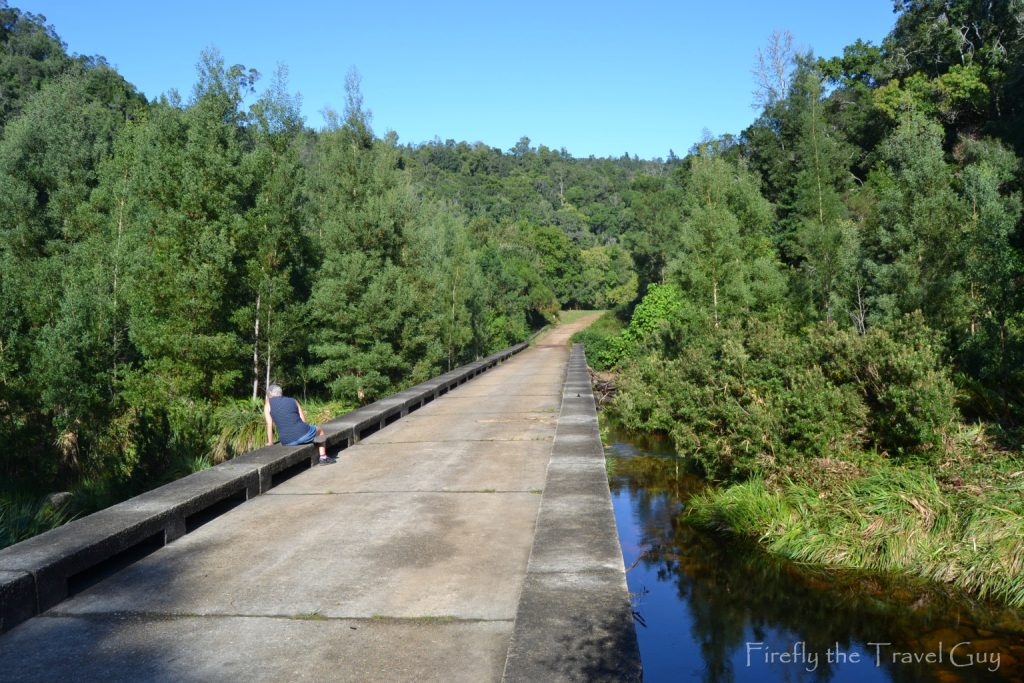
Suddenly we came out of the forest and Storms River was lying in front of us. I’m struggling to find information online about the low water bridge over the river at this point, but I remember years ago when I was a tourist guide, somebody telling me that it was built by soldiers during one of the world wars. So this paragraph is still up for editing if somebody does know when it was built.
We couldn’t help but spend a few minutes enjoying the sunshine and the beautiful sight of the river and the surrounding forest.
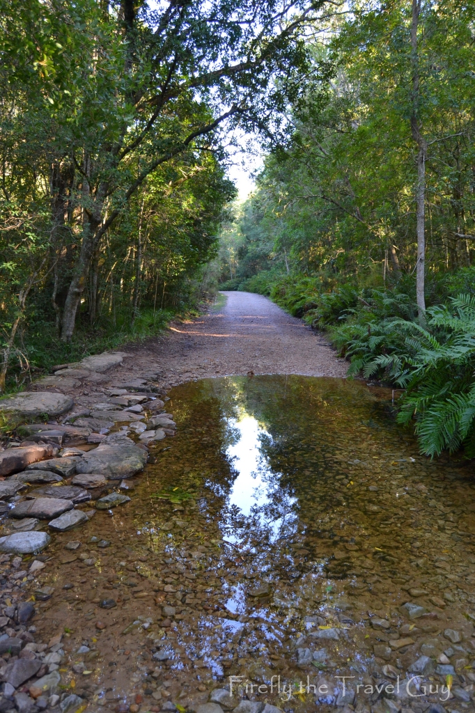
Have you noticed how a lot of the streams in the Tsitsikamma and elsewhere on the Garden Route have a brown colour? The discolouration of the water isn’t due to pollution. In fact, it’s perfectly good to drink. The water receives its colour from the tannins picked up as it flows through the surrounding Fynbos and the humus layer of the forest floor.
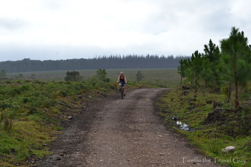
Not being cyclists, a case of slow pedalling and pushing, with more pushing than pedalling, got us up to the other side and onto the plateau. Here you leave the forest behind and follow the road through the pine plantations towards the coast. After the uphill, it’s a nice reprieve coasting along to the coast. Yes, pun intended.
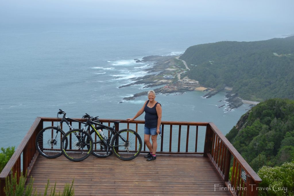
The view site at the halfway turning point is so worth the trip. What a view!!! The Storms River rest camp of the National Park is visible at the bottom and we encountered a couple of people who tackled the very steep climb from the suspension bridge up to the view site. I would much rather cycle here than climb from the bottom. This was also the perfect spot for a picnic to rest a bit before we turned around and headed back towards the village. The pass was waiting for us.
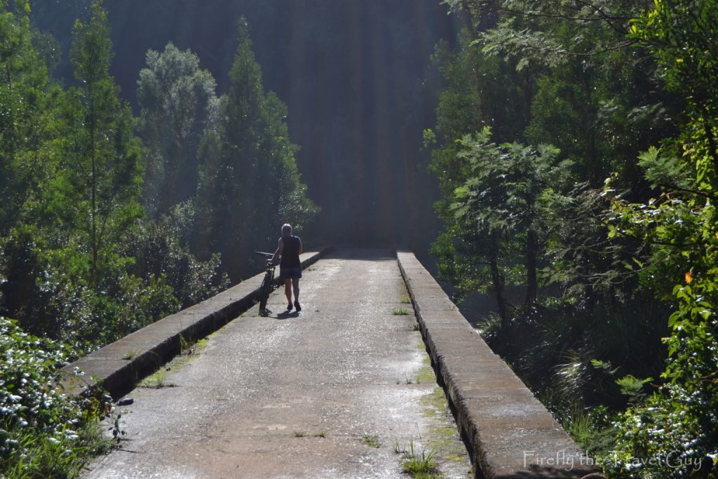
What a pleasure to be able to ride and freewheel downhill. Like I said, we’re not cyclists at all. Once back at the low water bridge we enjoyed the view once again and just took in the beauty of the forest.
Next to the bridge is a grassy picnic area that used to be the outspan in the early days of the pass. Because the pass was too narrow for two ox wagons to pass each other, there were “up days” and “down days” for travel through the pass. If you arrived at the bottom of the pass on a “down day”, you had to wait overnight for the next day before you could travel up to the top. Same if you arrived in the village on an “up day”, you would have had to wait till the next day before descending the pass.
After a quick outspan of our own, it was our “up day”, and we tackled the last uphill towards the village.
What an amazing commentary on your cycle. We will definitely have our bikes with us next time we stay at Storms River Village, also one of our favourite places. Beautiful pics too Jonker. Well done to you and Michelle.