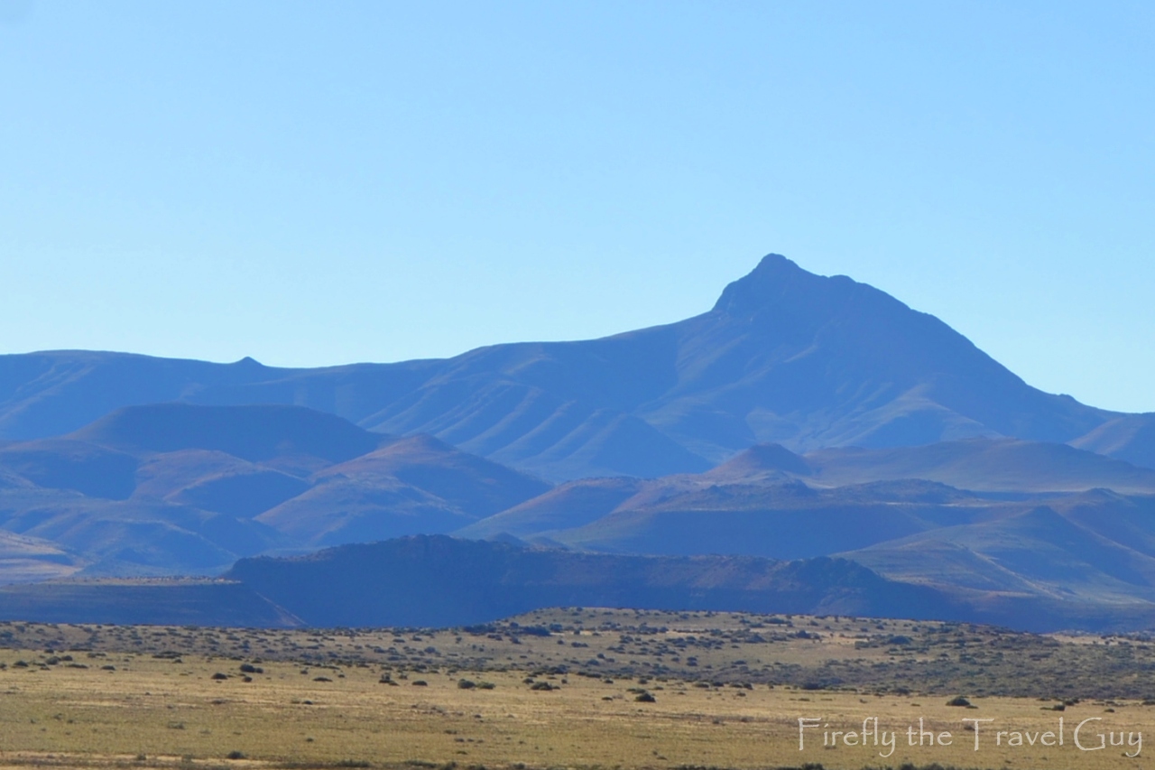
If you’ve ever been to Nieu-Bethesda then you would have spotted Compassberg on the horizon. In fact, it’s not difficult to miss. The Compassberg (2502m) is the highest peak in the Sneeuberg range and also the highest peak in South Africa outside the Stormberg-Drakensberg massif. It was named by Colonel Robert Jacob Gordon when he accompanied Governor Joachim van Plettenberg on a journey to the eastern frontier of the Cape Colony in 1778.
Compassberg together with its neighbouring mountains provides a critical water catchment area, covering over 40 000 hectares of livestock and game farms. The mountain is composed of sediments of the Beaufort Series in the Karoo System and extensively intruded by dolerite dikes and sills. Yeah yeah, just a bit of useless information if you know nothing of geology.
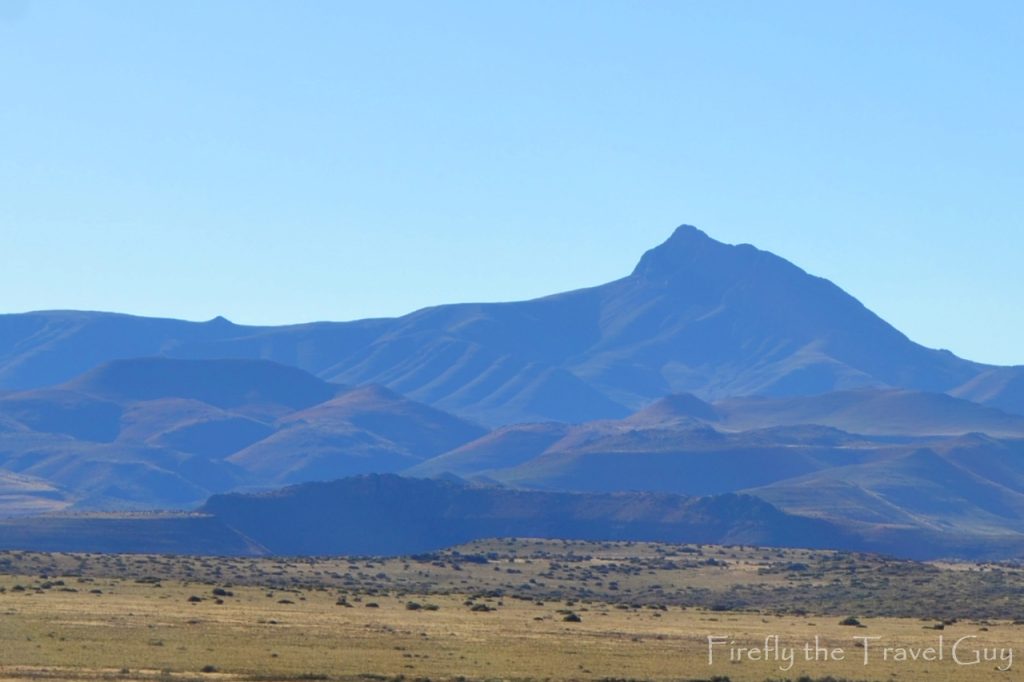
Hiking up Compassberg has gained popularity in the last few years. It takes four to five hours to climb to the top and another four to descend again. The base of the mountain is a forty-minute drive from Nieu-Bethesda. Climbing to the top isn’t something that you do unprepared though, even better if you can join an organised hike to the top. One of the best people for that is Dawid de Wet of Karoo360 powered by Toerboer in Graaff-Reinet. From the top, the koppies roll beneath you, Graaff-Reinet sits in the distance and on a clear day you can see Cockscombe Mountain near the coast. That;s a pretty long way.