

The Van Staden’s River west of Port Elizabeth is the boundary of the Nelson Mandela Bay metro and a major landmark in the area. Most people cross the gorge on the N2 in a couple of seconds using the arch bridge while others take their time and drive through the old pass. But where does the name Van Staden’s come from and when were the different bridges built?

Van Staden’s got it’s name from Marthinus van Staden who obtained grazing rights on the farm Kabeljouws a few kilometers from Jeffreys Bay in 1744. From here he moved further east across the Gamtoos River and established himself on a farm by the next river. This being the river that was later called the Van Staden’s River. Marthinus plotted a rudimentary track through the gorge and in 1852 the first crude pass was built. In 1865 a new pass was built but with a drift across the river.
The current pass was constructed in 1938 with a bridge across the river. Up until this time there had not been a bridge but merely a drift. To the right (looking east) of the bridge is the remains of a short bit of tar that may have been where the drift was located. The pass was eventually tarred itself between 1950 and 1953.
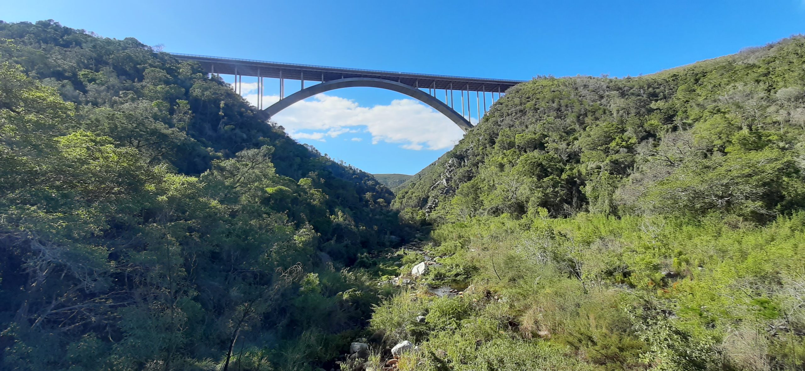
Things changed drastically when the arch bridge over the gorge was completed on 12 October 1971. It has a main span of 198 meters and is 125 meters above the gorge. Interestingly the two halves of the arch were constructed simultaneously from both sides.