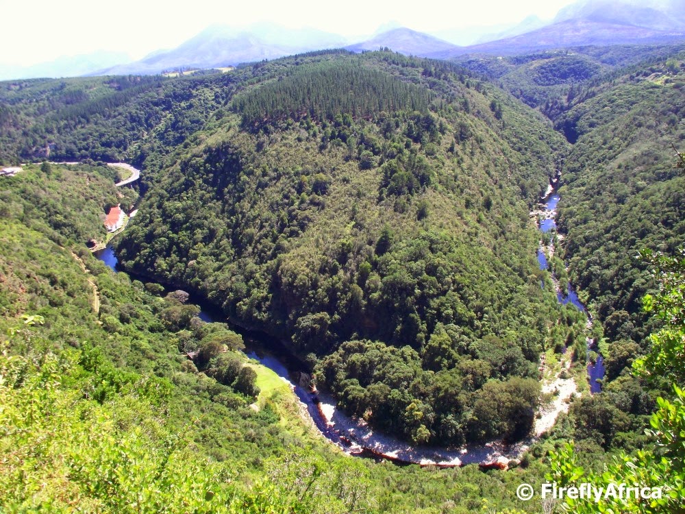
One of the most extraordinary scenic view points on the Garden Route must be the one above Wilderness of the Kaaimans River flowing below. As the river makes it’s way through the valley towards the sea it forms the outline of the map of Africa. In the photo part of the Kaaimans Pass can be seen on the left hand side. Getting to the lookout is fairly easy. Just follow the road through the town and up the steep hill to the top. There are signage up and a tourism volunteer manning the lookout for anybody who has questions. Otherwise just stop at the tourism information office as you come into town for directions.
The Map of Africa at Wilderness
This Post Has One Comment
Comments are closed.


That's fantastic! Must look out for this view next time I'm in the area….