It’s always a magnificent sight to see any dam overflow and even more so seeing the Kouga Dam overflowing after a prolonged period of severe drought.

The Kouga Dam, is located in the Gamtoos Valley about 30km past Patensie en just before the gravel road into the Baviaanskloof. The dam was originally named the Paul Sauer Dam after Paul Oliver Sauer who was the Minister of Lands, Forestry and Water Affairs at the time and represented Humansdorp (a district that stretched from the Van Stadens River to Plettenberg Bay and also the Kouga River and the Langkloof) as member of the House of Assembly, and was renamed to the Kouga Dam in 1995.
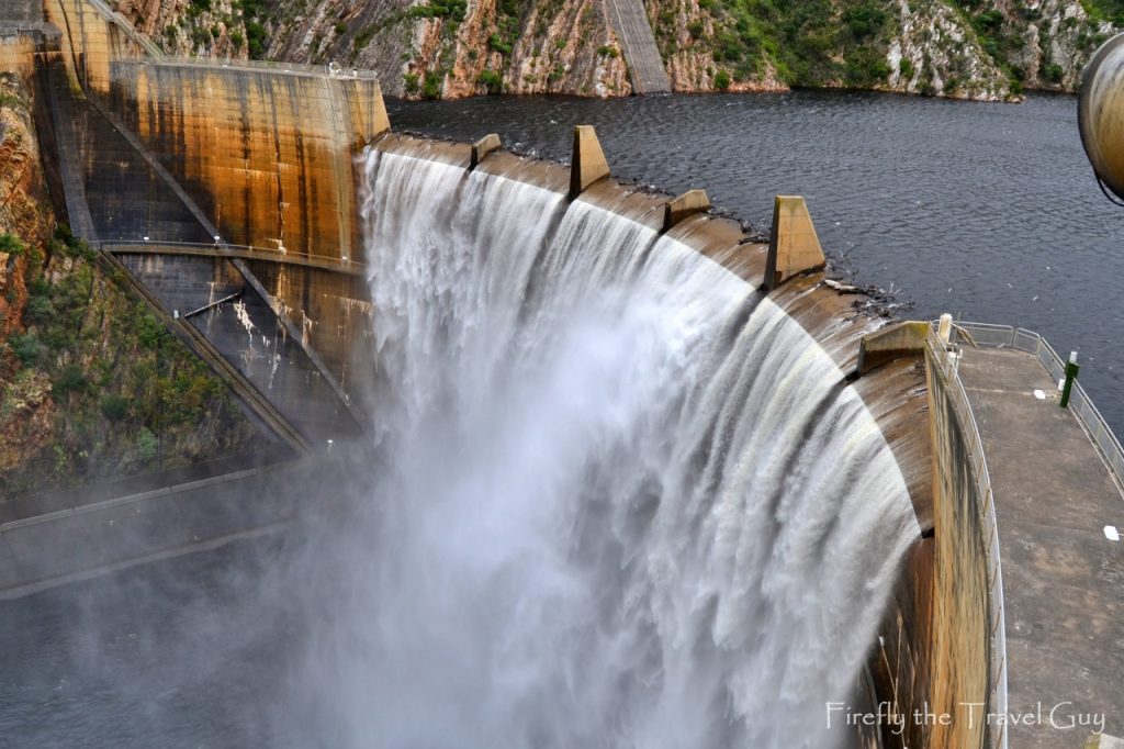
The Kouga Dam was built between 1957 and 1969 and became the first double curvature (cupola) arch dam in South Africa. The dam and main canal supply water to the farmers in the Gamtoos Valley for agricultural irrigation (72% of total use), the towns of Patensie and Hankey, and the Nelson Mandela Bay Municipality (28% of use). The water to Nelson Mandela Bay goes through the purification works at the Loerie Dam site by means of an outlet control tower and tunnel.
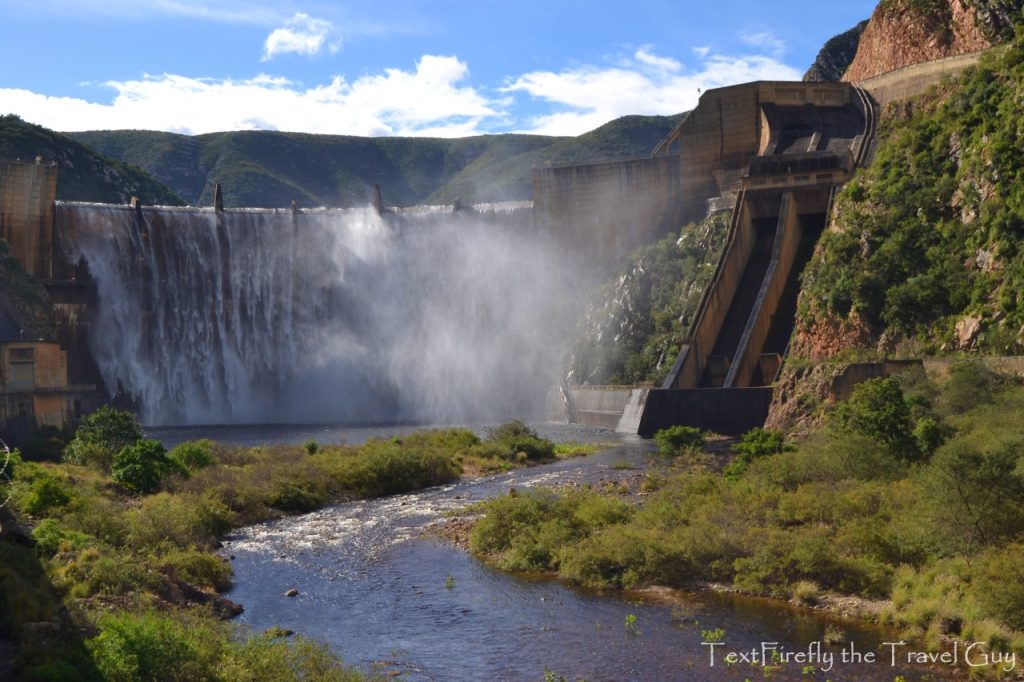
The dam wall stands 94 m high and the dam has a storage capacity of 125 million m³. The catchment area covers an area of 388 700h through parts of the Langkloof and Baviaanskloof with the Groot River originating near Avontuur.

Usually one can drive over the low water bridge below the dam wall quite easily to get to the picnic area and up to the wall lookout site. On our visit the road was under water so after the Damselfly and Miggie tested the depth on foot I took the Polo through quite easily. A week or two before I probably wouldn’t have been able to.

Near the picnic area is a scale model of the dam that was built to test the design and see what would happen in case of flooding. The miniature was built at an exact scale with the correct curvature of the wall and slope of the mountain.


